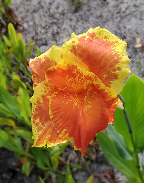
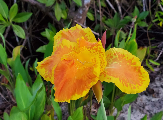
A little orientation today, and all because I wanted to show off the first of this season's Canna Lily flowers!
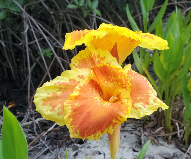 |
| We planted the canna lilies years ago along the path we made to our boat landing on Black Creek. |
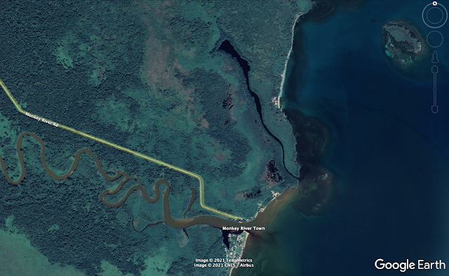
Google Earth photos will help you get your bearings. The first image is an overview that shows the Monkey River and Monkey River Village (incorrectly labeled a "town" by Google Earth) at the mouth of the river. The yellow line is the Monkey River Road, an 8-mile long dirt track leading from the Southern Highway (not shown) and ending on the north side of the mouth of the river. Black Creek is the long, black, semi-lagoon north of the road. Our place is situated in splendid isolation between Black Creek and the sea. You can see it in the upper right quadrant of the image below. No road to our place, you can get here only by boat - unless you want to get wet!
 |
| Our place is in the sea-side clearing at the south end of the stretch of white sand. |
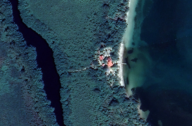 |
| In a closer view of our place you can see the dock jutting into the sea to the right (east) and also a faint line heading west toward Black Creek. We made a landing on Black Creek for our boat since it is more protected from the weather. |
The path to Black Creek goes through Mangrove Swamp. We built the path up with sand so that it is above water (except brief periods during the height of the rainy season).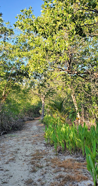 |
| The canna lilies are along the right side of the path. They are just starting their blooming season, which will last until the weather is dry for about a month. |
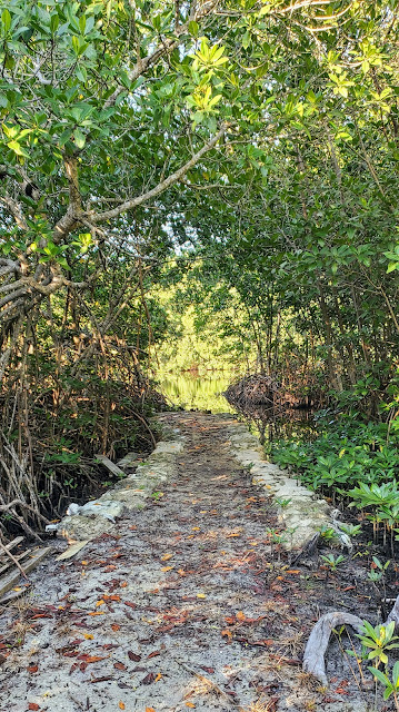 |
| The landing itself is lined with sand bags to hold the sand in place. |
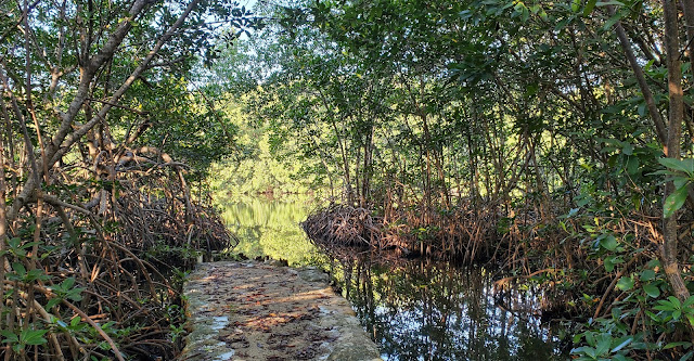 |
| We tie the boat up in the slot on the right. |
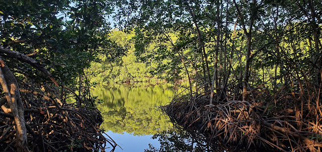 |
| We did our best not to disturb the mangroves - there is barely enough room to get the boat in. |
After all that, here is a selection canna lily photos from previous years.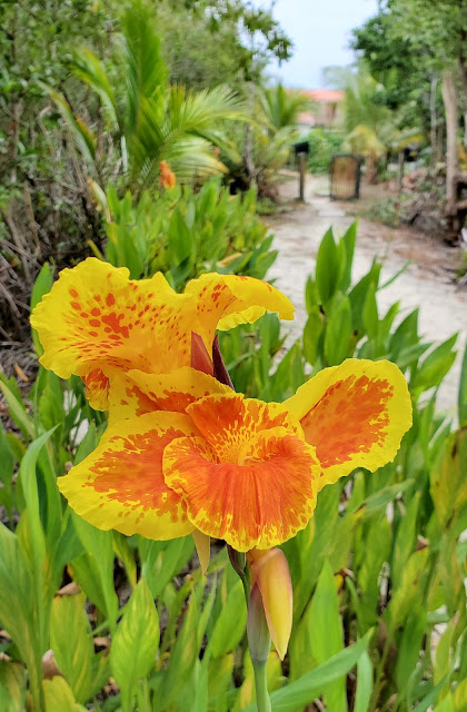 |
| Looking back along the path toward our house. |
So, now you know where the canna lilies are.