The day before Becki's departure back to the US, we planned a fun day that would eventually get us to Belize City before nightfall. We arranged for Jonathan Urbina, an amazing birding guide, to meet us super early in the coastal town of Dangriga for some birding before heading north to Belize City with stops at St. Herman's Cave and Blue Hole National Park, Belize Bird Rescue, and the birder-friendly Captain Hook's Shrimp Farm. To make our schedule, we left our place while it was still dark at 5:30AM, boating in light drizzle conditions to Placencia where we met up with Walter, my favorite taximan, who took us to the Placencia airstrip for our 7:00AM flight to Dangriga.
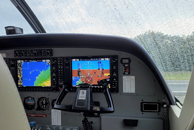 |
| Still drizzling for departure. |
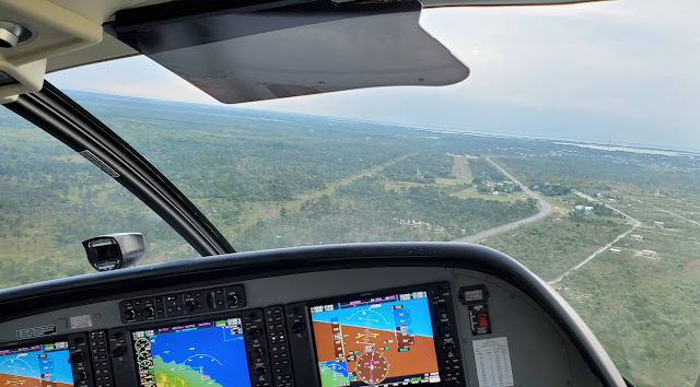 |
| Uh oh - we are not heading in the direction I thought we should be! Did we get on the wrong flight? |
I had a fleeting second of panic when it seemed we were heading south instead of north, but I quickly realized that we were going to make a stop at the Savannah airstrip just outside the village of Independence .
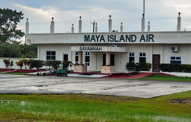 |
| I haven't flown into the airstrip for quite a few years. |
This airstrip is home to only one commercial airline - Maya- but is the base for a crop dusting enterprise.
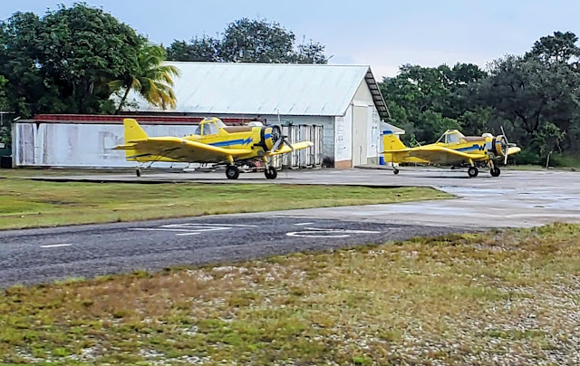 |
| Two of the crop dusting planes. |
I'm not sure which crops they cover, but I can hear the planes zooming back forth on many mornings before it is well and truly light.
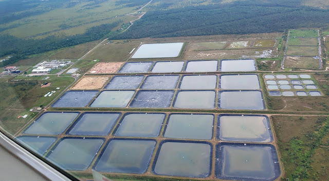 |
| I bet the crop dusters have to be careful not to contaminate any of the numerous shrimp farms. |
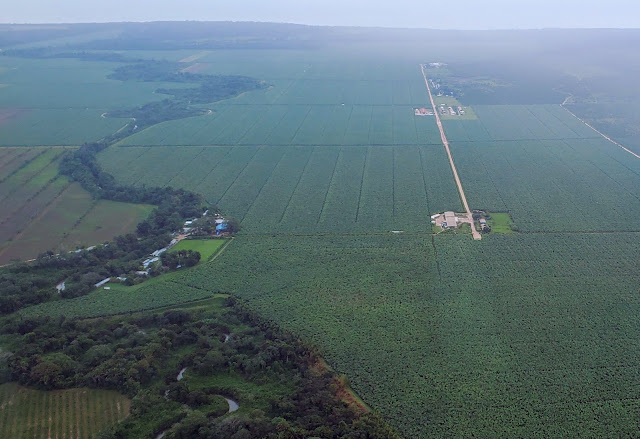 |
| This is a huge banana farm near the village of Riversdale. |
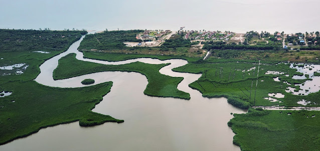 |
| A couple of resorts at the north edge of the coastal village of Hopkins. |
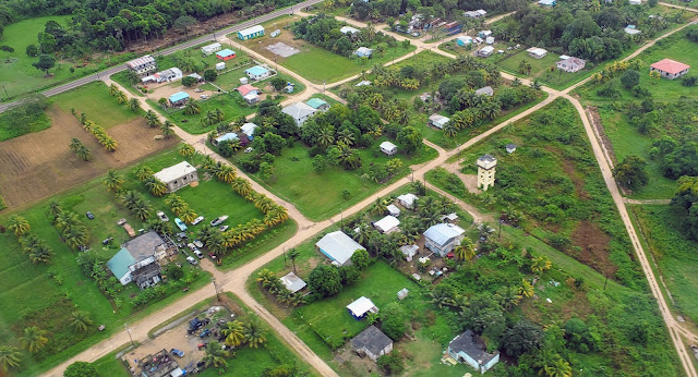 |
I believe this is the village of Silk Grass. The Southern Highway cuts across the upper lefthand corner of the image.
We arrived in Dangriga about 15 minutes late due to the weather. |
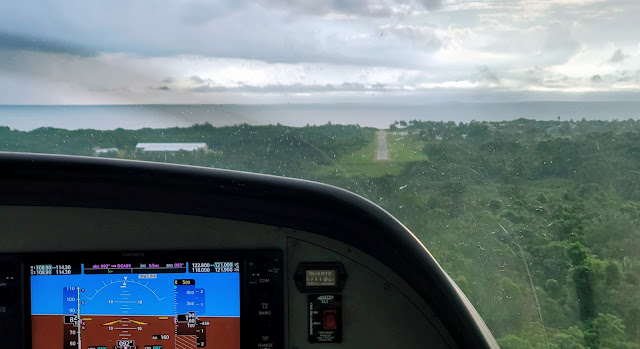 |
| Dangriga Airstrip just ahead. |
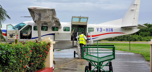 |
| A textbook perfect landing, smooth as silk. |
 |
| Take heed! |
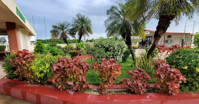 |
| Pretty landscaping at the Maya Island Air Terminal. |
Jonathan arrived a few minutes after we did - he had an early start driving from the town of San Ignacio - and we were off for our day of sightseeing and birding.


